3.2. Merge vector layers
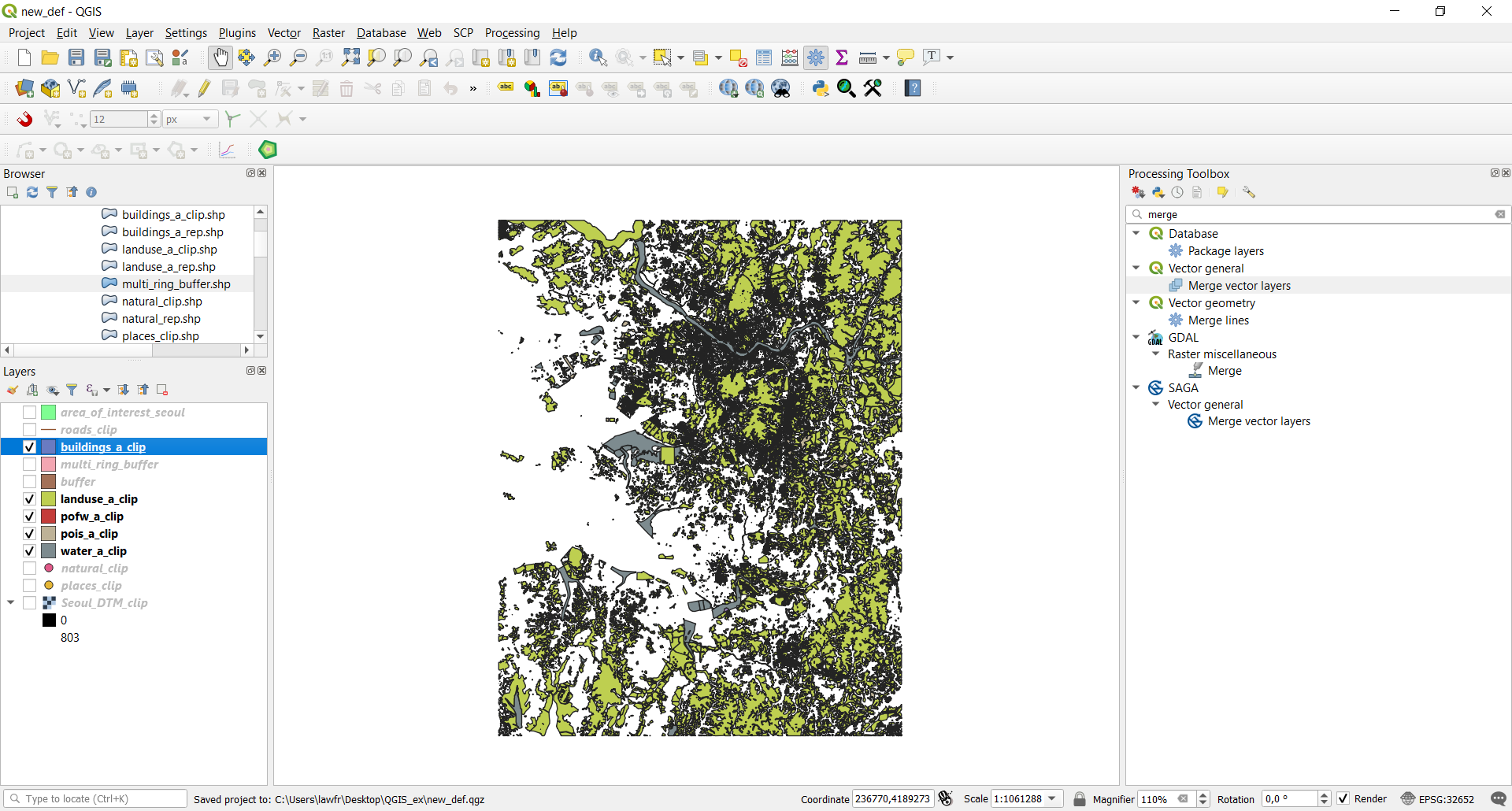
Let’s now consider the polygons layers: in particular we will need the buildings_clip, landuse_a_clip,
pois_a_clip, pofw_a_clip and water_a_clip layers, so you can hide all the others in the map.
The Merge vector layers function, available at Processing Toolbox->Vector General->Merge vector layers, provides an algorithm that
combines multiple vector layers of the same geometry type into a single one. If the attributes tables are different, the attribute
table of the resulting layer will contain the attributes from all input layers. New attributes will be added for the original layer
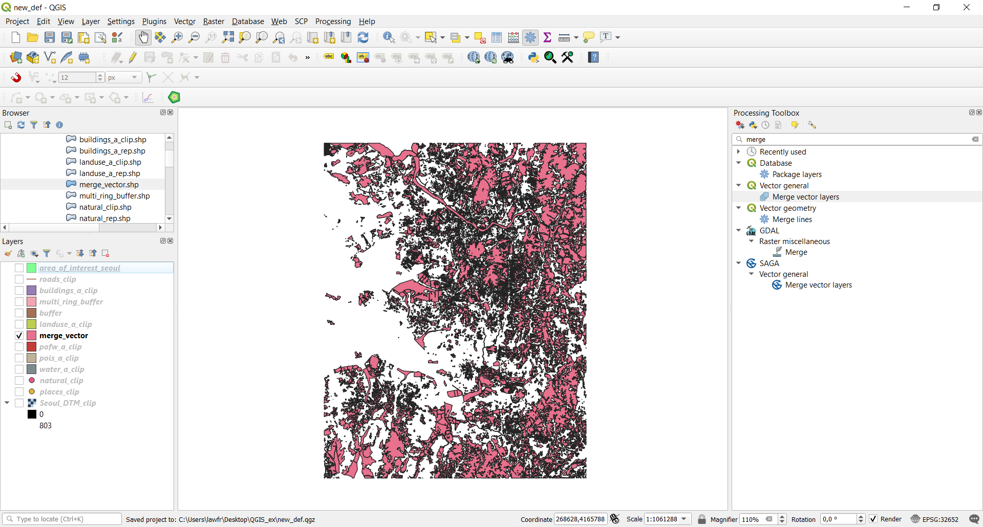
name and source. We will use it to combine the landuse_a_clip and the water_a_clip in order to get a general layer describing both
land and water features. To do so, the input parameters are:
- Input layers: click on the icon on the left and select
landuse_a_clipandwater_a_clip - Destination CRS: select the Project CRS, that is EPSG:32652 - WGS84 / UTM zone 52N
- Merged: the path and the name of the output vector layer. Note that if left empty a temporary layer will be created
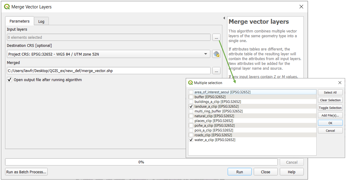
Fig. 3.2.1 Merge function window
As you can see this operation creates a new vector that contains features from both the landuse and water bodies layers: